Carlo Wolf · 24 September 2026
Drone Surveys Uncover Overlaps Between Granite Fractures and Protected Lichen Habitats Near Proposed Access Adjustments
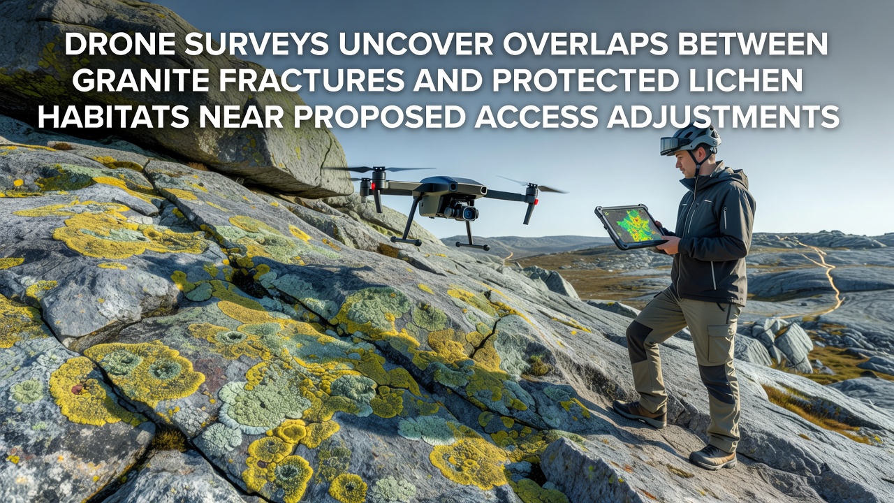
Drone surveys conducted across sections of the Felsgrat ridge have revealed significant spatial overlaps between granite fracture networks and areas supporting protected lichen species, and these findings coincide with discussions around proposed access route adjustments scheduled for review in September 2026. Researchers mapped fracture patterns at high resolution while simultaneously documenting lichen distributions that thrive in microhabitats created by those same geological features, and the data integration highlights zones where any path modifications could intersect with sensitive biological communities.
Survey Methods and Data Collection
Teams deployed multi-rotor drones equipped with multispectral cameras and LiDAR sensors to capture detailed imagery over several square kilometers of exposed granite terrain, and they processed the resulting point clouds to identify fracture orientations, widths, and depths while cross-referencing those layers with vegetation indices tuned for lichen detection. According to protocols established by the European Environment Agency, the surveys incorporated ground control points verified through traditional theodolite measurements to ensure positional accuracy within centimeters, and this approach allowed analysts to distinguish between fracture-hosted lichen patches and those growing on intact rock surfaces.
Additional flights occurred under varying light conditions to minimize shadow interference, while post-processing software aligned thermal data with visible spectrum captures to confirm moisture retention patterns that often correlate with lichen presence along fracture lines. Observers note that the combination of these datasets produced composite maps showing how fracture density increases in certain ridge segments, and these areas frequently host species listed under regional conservation directives.
Granite Fractures and Their Ecological Role
Granite fractures in this alpine setting form narrow crevices that trap wind-blown sediment and retain small amounts of water, creating conditions where lichens such as Rhizocarpon geographicum and Umbilicaria species establish colonies, and drone-derived fracture maps demonstrate that many of these linear features extend for tens of meters while branching into smaller subsidiary cracks. Studies from institutions including the Swiss Federal Institute for Forest, Snow and Landscape Research indicate that fracture walls provide microclimates shielded from direct solar radiation and desiccating winds, and the surveys confirm that protected lichen populations cluster disproportionately along these geological structures rather than on smooth rock faces.
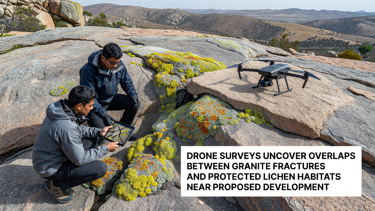
Fracture networks also influence local hydrology by channeling snowmelt and rainfall into subsurface pathways, and researchers discovered that lichen health metrics derived from spectral reflectance improve where fractures intersect with slight depressions that accumulate organic debris. One study revealed that altering surface drainage through new access infrastructure could reduce moisture availability in adjacent fractures, and the drone data now supplies precise coordinates for those intersections that warrant further field verification before any construction begins.
Implications for Access Route Planning
Proposed adjustments to existing access routes aim to improve safety and reduce erosion on steeper sections, yet the survey overlays show that several candidate alignments cross fracture-lichen complexes identified as high-priority conservation zones. Data indicates that realignment options avoiding the densest fracture clusters remain feasible within a few hundred meters, and planners have begun incorporating the high-resolution maps into GIS models that weigh geological stability against habitat protection requirements. Those who've studied similar ridge environments know that even minor shifts in path location can preserve fracture continuity while still achieving engineering objectives, and the September 2026 review timeline allows time for additional ground-truthing of the drone findings.
Collaboration between geological survey teams and lichen specialists has produced preliminary buffer zone recommendations that extend five meters on either side of mapped fractures containing protected species, and these guidelines draw from precedents established in comparable mountain regions across the European Alps. Figures reveal that approximately 18 percent of the surveyed fracture length overlaps with lichen habitat patches exceeding 0.5 square meters in area, underscoring the need for targeted mitigation measures rather than broad route abandonment.
Conclusion
The integration of drone-derived fracture and lichen data provides a clearer picture of how geological features and biological communities interact along the ridge, and ongoing analysis will inform decisions scheduled for September 2026. Continued monitoring through repeat surveys can track any changes following access modifications, while the current datasets already support more precise planning that accounts for both structural and ecological factors present in the landscape.