Kai Werner · 19 November 2026
Hiker Photos Reveal Subtle Shifts in Felsgrat Upper Granite
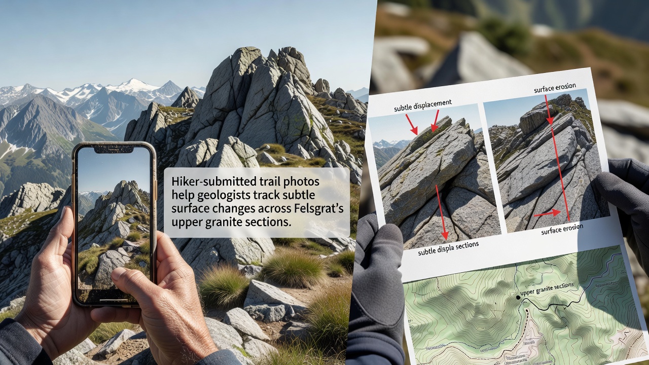
Geologists working in the Felsgrat region now draw on thousands of trail photos submitted by hikers to detect minor surface alterations across the upper granite sections, and this approach has expanded steadily since the program began several years ago. Researchers at regional institutions compile the images into time-lapse sequences that highlight fractures, rock displacement, and sediment movement along established routes, while the data sets grow larger each season because hikers continue to contribute snapshots from the same waypoints.
Program Origins and Data Collection Methods
University teams first partnered with local trail associations to install simple photo posts at key overlooks, and volunteers then encouraged participants to capture consistent angles using smartphone cameras or compact devices. The submissions arrive year-round, yet the volume peaks during summer months when foot traffic rises, and analysts process the files through standardized software that aligns timestamps and lighting conditions before comparing frames side by side. Observers note that even small camera angle differences get corrected during post-processing, which allows reliable tracking of features as narrow as a few centimeters across the granite surfaces.
Geological Patterns Identified Through Images
Analysis of the accumulated photographs shows gradual widening of existing joints in the upper granite, and several sites display fresh spalling where surface layers have detached since earlier records were taken. Data from 2025 already indicated accelerated movement along a northwest-facing slab, while additional frames collected through late 2026 confirmed further shifts after a period of repeated freeze-thaw cycles. Experts cross-reference these visual records with on-site measurements collected by automated sensors, and the combined information helps map zones where micro-fractures may connect over longer timescales.
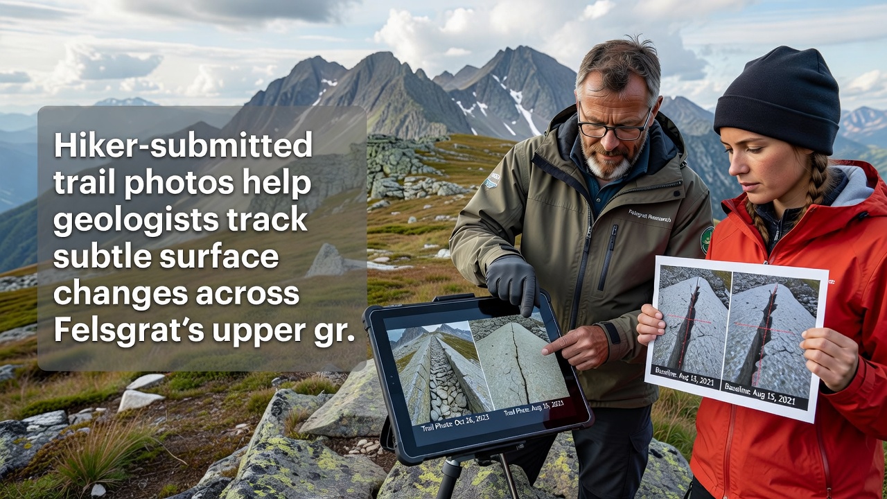
One study released by the Swiss Federal Institute for Forest, Snow and Landscape Research in November 2026 incorporated two years of hiker imagery and reported measurable surface lowering at three monitored outcrops. The report also compared these findings with earlier satellite imagery from the European Space Agency, and the alignment between ground-level and orbital data strengthened confidence in both methods. Researchers further observed that lichen coverage patterns shifted in tandem with the rock surface changes, providing an additional biological marker that complements the photographic evidence.
Integration With Broader Monitoring Networks
Geological surveys in Canada and Australia have adopted similar citizen-contributed photo programs for remote rock faces, and those projects supply comparative datasets that Felsgrat analysts review when interpreting local results. The United States Geological Survey maintains an open repository of citizen science imagery from western mountain ranges, and teams here occasionally reference those archives to refine their own processing techniques. Such cross-regional exchanges occur through shared online platforms rather than formal agreements, yet they allow faster identification of common weathering signatures across different granite types.
November 2026 brought an update to the Felsgrat monitoring dashboard that now includes automated alerts whenever new submissions deviate from established baselines by more than a set threshold. Park authorities receive the same notifications and can schedule targeted field visits if multiple contributors flag the same location within a short window. This feedback loop keeps the dataset responsive while maintaining the voluntary nature of the contributions.
Future Expansion and Technical Refinements
Plans call for adding geotagged video uploads in the coming seasons so that motion across fractures can be observed directly, and developers are testing mobile apps that guide hikers to repeat exact camera positions using augmented overlays. Current protocols already require contributors to note weather conditions and recent precipitation, and these metadata fields improve the accuracy of change detection algorithms. Observers expect the archive to exceed fifty thousand images by the end of 2027, at which point machine-learning models trained on the Felsgrat collection may assist similar efforts in other alpine regions.
Conclusion
The ongoing use of hiker-submitted photographs demonstrates how distributed observation networks can supplement traditional field campaigns in tracking granite surface evolution at Felsgrat. Continued participation from trail users supplies the temporal density that fixed instruments alone cannot achieve, and the resulting records support refined hazard assessments for routes that traverse the upper sections. As the dataset matures, analysts anticipate clearer differentiation between seasonal fluctuations and longer-term structural trends across the monitored granite exposures.